A season of heat, flood and fire is setting the context
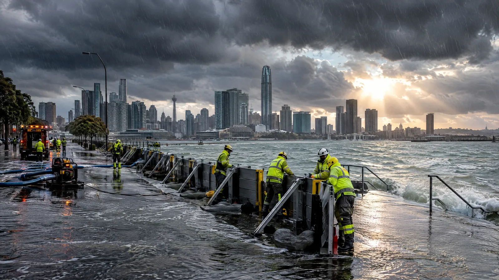
The current climate story is not one single event. It is a cluster of hazards playing out in different places: prolonged heat and dryness in parts of Europe, fires in several regions, and heavy rain and flooding across parts of Asia and elsewhere. The World Meteorological Organization, or WMO, says Earth had its hottest August on record in 2026, based on monthly reports from Copernicus, the US National Oceanic and Atmospheric Administration and NASA. It also reported record-high global sea-surface temperatures for August, a signal that matters because the ocean stores and moves vast amounts of heat. [1]
This wider picture helps explain why extreme weather is receiving sustained attention, but it should not flatten important differences. A heatwave, a river flood, a tropical cyclone and a wildfire do not have the same causes or consequences. WMO's August review described a world in which northern-hemisphere heat, drought and fire coexisted with intense rainfall and flooding in other areas. Its July assessment had already recorded unusually high temperatures, low soil moisture, heavy monsoon rain and destructive floods across several regions. [1] [2] The common thread is an atmosphere and ocean system operating on a warmer baseline, alongside ordinary weather variability and local conditions.
Climate change raises the background risk, not a simple verdict on every event
Extreme weather is the short-term expression of the atmosphere: a spell of unusually high heat, a burst of heavy rain, a storm or a drought. Climate is the longer pattern against which those events occur. As greenhouse-gas warming raises average temperatures, it can add heat to heatwaves and increase the moisture available for intense rainfall. It can also dry soils in some settings, which can worsen heat and fire conditions. That does not mean climate change is the only explanation for each event, or that every affected place will see the same outcome.
Weather patterns remain central. WMO has pointed to persistent high- and low-pressure patterns across the Northern Hemisphere in recent months, while Reuters reported WMO's explanation that warm seas and dry soils helped amplify European heat. [2] [8] These factors interact rather than operate in isolation. Scientists examine them through observations, models and event-attribution studies; the strength of evidence differs by hazard and location. Readers should also be cautious with a single monthly ranking. WMO notes that major temperature datasets use different methods, and that the longer warming trend is more informative than a narrow contest between individual months. [2]
A very strong El Niño adds a new global risk signal
The most important near-term climate driver is El Niño, the natural warming of parts of the equatorial Pacific that can shift weather patterns far beyond the ocean itself. WMO says the event is firmly established, is expected to reach very strong intensity before peaking towards the end of 2026, and has an exceptionally high, nearly 100% prospect of persisting through February 2027. The agency says the pattern can alter rainfall and temperature patterns and raise the risk of floods, drought and extreme heat in affected regions. [3]
That is a warning to prepare, not a location-by-location forecast. El Niño's effect can be altered by other climate patterns, including conditions in the Indian and Atlantic oceans, and by the timing of a local rainy season. UN reporting notes that scientists have not established that human-caused climate change is making El Niño itself stronger; a warmer atmosphere and ocean can nevertheless amplify some of its impacts. [7] The practical implication is to treat seasonal outlooks as risk information, then follow national and local forecasts for a particular district, coast or river basin.
Why the global picture matters in India and beyond
For India, the global picture intersects with familiar concerns: heat stress, monsoon rainfall, urban drainage, agriculture, water availability and power demand. The WMO warned in early August of heavy to locally very heavy rain and possible flash floods and landslides in parts of India, Pakistan, Nepal, Bangladesh, Bhutan and Myanmar. [2] Conditions change quickly, so that regional warning cannot substitute for the latest India Meteorological Department bulletin or local disaster-management advice. It does show why cross-border weather information and reliable last-mile alerts matter in a region linked by monsoon systems and river basins.
Climate risk is also shaped by exposure and vulnerability. The same rainfall can be disruptive in a crowded city with blocked drainage and manageable where floodplains are protected. The same high temperature is more dangerous for people working outdoors, older adults, young children, people with existing illnesses and households without dependable cooling or water. WHO says health harms from heatwaves, wildfires, floods and storm surges are increasingly important, while many can be reduced through sound public-health practice and preparation. [5] This is why the climate-risk conversation increasingly includes hospitals, transport, housing, food systems and municipal services, not only emissions targets.
Practical context: forecasts are tools, not certainty
A useful distinction is between a weather forecast, which describes conditions over the coming hours or days, and a seasonal outlook, which describes how conditions may differ from average over a broader period. Neither can promise the weather at one address on one date. A global declaration of El Niño is even less specific: it indicates a changed backdrop for risk, not a guaranteed disaster. Local official alerts, including heat, rain, flood, cyclone and air-quality notices, are the right starting point for immediate choices about travel, work, school and public services.
For households and communities, preparedness is often practical rather than dramatic: knowing the official alert channels, understanding which routes or buildings are exposed to flooding, and recognising when heat or smoke guidance applies. Local administrations and employers can use forecasts to plan water, cooling, health outreach, drainage and continuity arrangements. These measures are not a substitute for long-term climate action, but they can reduce harm while hazards unfold. WHO describes adaptation as making health systems and societies fit for a changing climate; UNEP says adaptation and emissions reductions need to advance together as risks evolve. [5] [4]
What happens next
WMO will continue to update its El Niño and seasonal climate assessments as new observations and models arrive. The central points to watch are whether the Pacific event strengthens as expected, how other ocean patterns interact with it, and how national meteorological agencies translate those signals into local warnings. The current forecast does not remove uncertainty: rainfall can vary sharply within a season and neighbouring areas can face opposite problems.
The longer-term issue is the warming baseline. UNEP said this month that global temperature rise is set to cross 1.5°C within the next few years and that risks intensify with every additional fraction of a degree. [4] That assessment is not a forecast of one event or one country's future. It is context for why accurate forecasts, resilient public systems and sustained emissions reductions are all being discussed together as the world responds to current extremes.
Questions readers ask
Does climate change cause every heatwave, flood or wildfire?
No. Individual events also depend on weather patterns, ocean conditions, land conditions and local exposure. Climate change can raise the background conditions that make some extremes more intense or more likely, but attribution is assessed event by event.
Why does El Niño matter for climate risk now?
El Niño can shift temperature and rainfall patterns across many regions. WMO expects the current event to strengthen and persist into early 2027, so agencies are using seasonal information to prepare for possible heat, drought or heavy-rain impacts where those patterns are relevant.
Which information should people use during a local weather emergency?
Use the latest instructions from official meteorological, disaster-management and health authorities in the affected area. Global climate reports and seasonal outlooks offer context, but they do not replace local warnings.
Sources
- Earth has hottest August on record — World Meteorological Organization. Accessed 2026-09-23.
- Record-breaking heat and extreme weather continue — World Meteorological Organization. Accessed 2026-09-23.
- El Niño set to become very strong, raising risks of extreme weather into 2027 — World Meteorological Organization. Accessed 2026-09-23.
- UNEP: World set to cross 1.5°C global warming, but can still limit, adapt to and return from higher temperatures — United Nations Environment Programme. Accessed 2026-09-23.
- Climate crisis: extreme weather — World Health Organization. Accessed 2026-09-23.
- FAQ about Google Trends data — Google Trends Help. Accessed 2026-09-23.
- El Niño is surging. Months of extreme heat could follow — UN News. Accessed 2026-09-23.
- Extreme heat becoming more frequent and intense, UN agency says — Reuters. Accessed 2026-09-23.
By Anna News Desk. Official WMO, UNEP, WHO, UN and Google Trends materials, alongside Reuters reporting, were reviewed on 23 September 2026. This is explanatory journalism, not a local forecast or emergency advisory.