Weather India: why the risk now extends inland
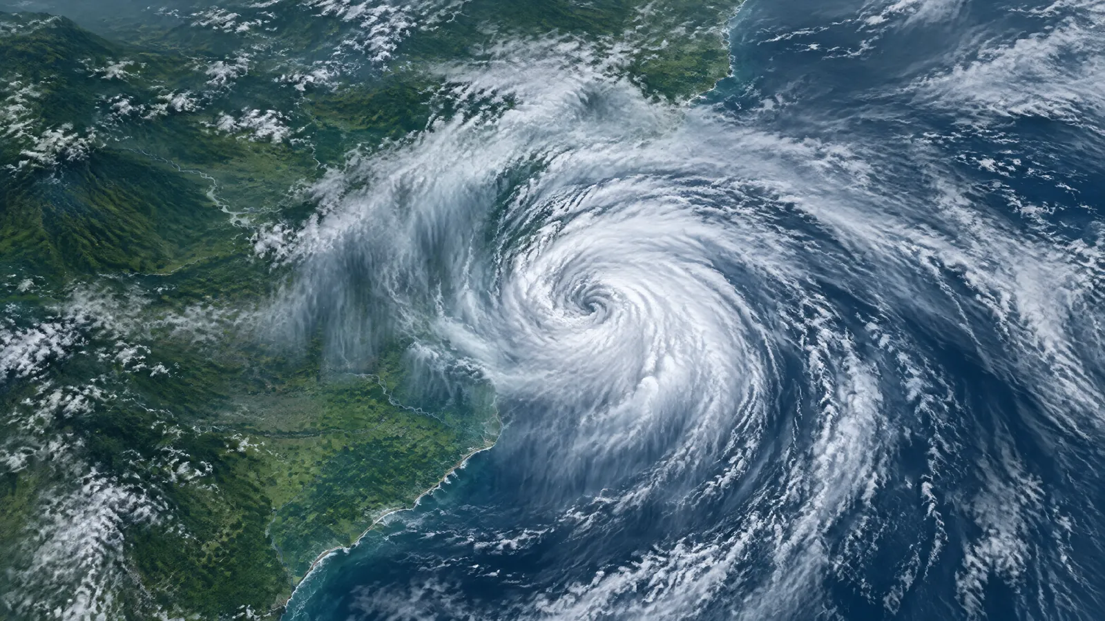
For readers tracking weather india, the most important change on Wednesday morning is not a new offshore intensification but the inland hazard picture. The India Meteorological Department (IMD) said its Deep Depression crossed the north Andhra Pradesh coast close to southwest of Kalingapatnam between 11 pm IST on 23 September and 1 am IST on 24 September. At 5:30 am, it was over north coastal Andhra Pradesh near 18.3°N, 83.7°E — about 50 km west of Kalingapatnam, 80 km north-northeast of Visakhapatnam and 170 km southwest of Gopalpur.[1]
The 09:25 IST all-India bulletin says the system moved west-north-west at only 3 kmph in the preceding six hours. IMD expects it initially to retain Deep Depression intensity for about 12 hours, then turn north-north-west and weaken gradually during the following 24 hours.[1] That is why a weakening forecast should not be read as an all-clear: rain bands and runoff risk can reach areas away from the point where the centre crossed the coast. The agency's official classification remains Deep Depression, not cyclonic storm.
IMD's new flash-flood guidance: what it does and does not mean
IMD's latest flash-flood guidance, valid until 5:30 am IST on 25 September, describes low-to-moderate risk over a few watersheds and neighbourhoods where saturated soil and expected rain could lead to surface runoff or inundation in low-lying areas.[1] It names 30 districts in Odisha; Khammam and Bhadradri Kothagudem in Telangana; eight districts in Coastal Andhra Pradesh and Yanam; 11 in Chhattisgarh; and six in Gangetic West Bengal. In all, 57 named districts appear in the guidance, but the agency does not say that every locality in those districts will flood.[1]
The geographic shift is worth noting. The earlier cyclone bulletin's 24-hour guidance highlighted fewer areas, including Mulugu in Telangana, Gariaband and Kondagaon in Chhattisgarh, selected Odisha districts and seven coastal Andhra Pradesh districts.[2] The newer all-India bulletin has a later validity window and a broader list, including low-lying parts of Gangetic West Bengal. That is an update to a risk forecast, not a verified tally of flood incidents, evacuations or damage. Residents should use district administration, police and municipal notices for actual road closures, shelter directions and local assistance.
Rain, thundersquall and travel outlook by region
For the warning period from 8:30 am on 24 September to 8:30 am on 25 September, IMD forecasts heavy to very heavy rain with isolated extremely heavy falls over Chhattisgarh, Coastal Andhra Pradesh, Odisha and Telangana. It separately has heavy-to-very-heavy rain in the outlook for Bihar, Jharkhand, Vidarbha, and West Bengal and Sikkim, with heavy rain possible in East Madhya Pradesh, East Uttar Pradesh, Karnataka, Kerala and Mahe, Marathwada, Assam and Meghalaya.[1] These are area forecasts for isolated places, not a prediction that every town will receive the same intensity or total.
Thundersqualls with winds of 50–60 kmph, gusting to 70 kmph, are also very likely at isolated places over Chhattisgarh, Coastal Andhra Pradesh, Odisha and Telangana on 24 September.[1] IMD's cyclone bulletin warns that heavy rain and squally winds can affect road and rail movement, visibility, small vessels, vulnerable structures, plantations and low-lying areas.[2] If travel cannot be postponed, check the latest local bulletin immediately before departure; do not assume a state-level forecast can establish conditions on a particular road, rail line or flight.
Coast and sea conditions are easing, but the fishing restriction remains
The coastal phase is not over at the time of publication. IMD said squally winds of 55–65 kmph, gusting to 75 kmph, over the westcentral and adjoining northwest Bay of Bengal were expected to continue through Wednesday morning, then ease to 45–55 kmph, gusting to 65 kmph, in the evening. Similar conditions along and off the south Odisha–north Andhra Pradesh and Yanam coast were forecast to ease later in the day; very rough to rough seas along and off the north Andhra Pradesh, Odisha and West Bengal coasts were also expected to improve gradually after the evening.[1] [2]
The operational advice is more important than a description of the sea state. IMD advises fishermen not to venture into the westcentral, adjoining northwest and southwest Bay of Bengal or along and off the Andhra Pradesh, Odisha and West Bengal coasts until 25 September.[2] Small craft operators and coastal communities should follow the latest harbour, fisheries and district instructions rather than rely on a generic social-media graphic. A sea forecast is time-specific, and a gradual improvement forecast is not permission to resume activity before the official restriction changes.
Practical safety steps while warnings remain active
The safest response is practical and local. Keep a charged phone, essential medicines, drinking water and important documents ready if you are in a low-lying area; monitor IMD, state disaster-management agencies and district authorities for updated directions. During intense rain, stay away from drains, culverts, riverbanks and the seafront, and avoid taking shelter beneath trees during lightning. IMD also advises people to move away from water bodies and unplug electrical or electronic appliances if lightning is expected.[2]
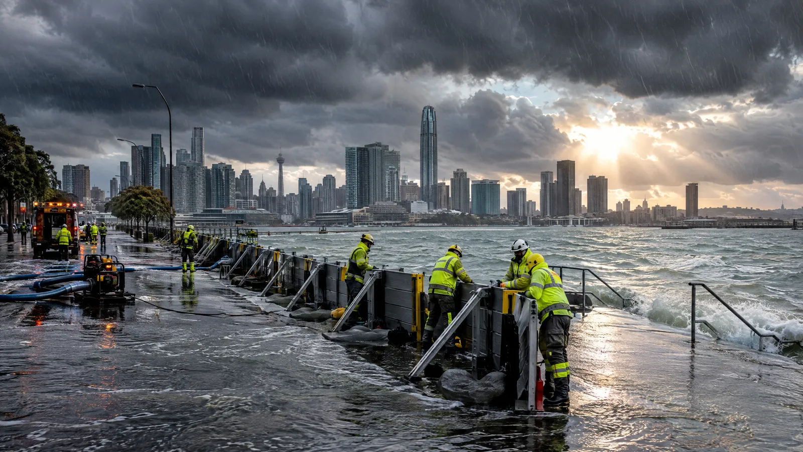
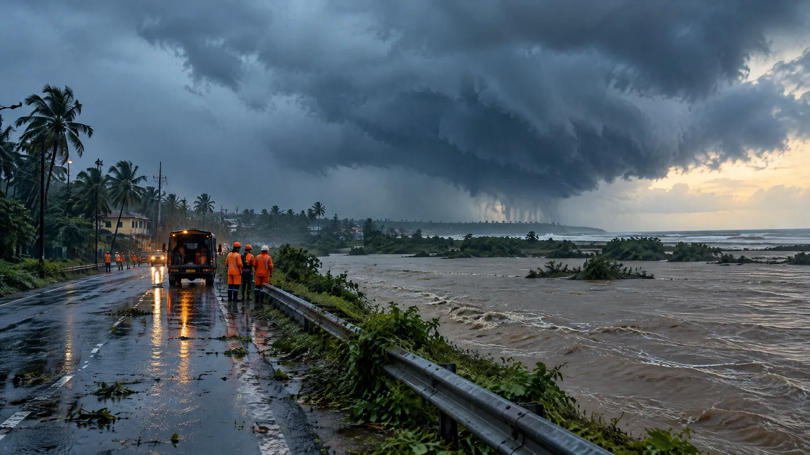
Where water is already on a route, do not walk through flowing water or drive into a flooded stretch simply because the surface looks shallow. NDMA cautions that fast-moving water can knock a person over and that as little as half a metre of floodwater can carry a car away; it also advises people to avoid downed power lines and to obey official evacuation orders.[7] This report does not claim any specific flood impact or closure. The verified picture at 10:48 am IST is a forecast hazard with named flash-flood-risk areas, so the next official IMD and district update should guide decisions about travel, work, fishing and outdoor activity.
There is a wider late-monsoon context, but it should not distract from today's warning. IMD's 17 September extended-range outlook anticipated that the remnant of this Bay of Bengal system could move north-west towards north Chhattisgarh and then north-north-west towards East Uttar Pradesh and adjoining Bihar in the first half of the week beginning 24 September.[6] That longer-range guidance is useful for preparedness only; its lead time is greater and its precision is lower than the active day-one warning. The same outlook expected normal to above-normal rainfall over East and adjoining Central and Peninsular India during the first half of the week.[6] Residents should therefore recheck the time stamped on every warning rather than recycling a forecast after its validity has passed.
Questions readers ask
Where is the Deep Depression now?
IMD's 09:25 IST bulletin said the system was over north coastal Andhra Pradesh at 5:30 am on 24 September, after crossing the coast close to southwest of Kalingapatnam overnight. It was about 50 km west of Kalingapatnam and 80 km north-northeast of Visakhapatnam.[1]
Does the IMD flash-flood guidance mean my whole district is flooded?
No. IMD describes a low-to-moderate risk over a few watersheds and neighbourhoods in named districts, where runoff or inundation may occur in saturated or low-lying areas. It is a forecast risk, not confirmation of district-wide flooding or a local impact report.[1]
Which places have the highest rain warning on 24 September?
IMD forecasts heavy to very heavy rain with isolated extremely heavy falls over Chhattisgarh, Coastal Andhra Pradesh, Odisha and Telangana. It also has heavy or heavy-to-very-heavy-rain outlooks for several surrounding regions, including Bihar, Jharkhand, Vidarbha and West Bengal and Sikkim.[1]
Can fishermen go out on 24 September?
No. IMD advises fishermen not to venture into the specified westcentral, northwest and southwest Bay of Bengal areas or along and off the Andhra Pradesh, Odisha and West Bengal coasts until 25 September.[2]
Sources
- All India Weather Summary and Forecast Bulletin, Morning, 24 September 2026 — India Meteorological Department. Accessed 2026-09-24.
- National Bulletin No. 12 (BOB/06/2026), 24 September 2026 — India Meteorological Department. Accessed 2026-09-24.
- District-wise Warnings, 24 September 2026 — India Meteorological Department. Accessed 2026-09-24.
- Press Release: Deep Depression over Westcentral and Adjoining Northwest Bay of Bengal, 23 September 2026 — India Meteorological Department. Accessed 2026-09-24.
- Latest alerts from India Meteorological Department — India Meteorological Department. Accessed 2026-09-24.
- Current Weather Status and Extended Range Forecast for 17 to 30 September 2026 — India Meteorological Department. Accessed 2026-09-24.
- Urban Floods: Do's & Don'ts — National Disaster Management Authority. Accessed 2026-09-24.
Anna News Desk reviewed IMD's 09:25 IST all-India bulletin, cyclone bulletin, warning services and prior official releases, alongside NDMA safety guidance, on 24 September 2026. Forecasts and risk guidance are attributed to IMD and are distinguished from confirmed local impacts. Conditions can change; readers should follow the newest official district-level instructions.