Wind Advisory and coastal flood warning: the latest US alert snapshot
A **Wind Advisory** and **Coastal Flood Warning** were active across multiple parts of the United States early Friday, 25 September 2026. The broadest overlap was along the East Coast, where a developing coastal storm and persistent onshore flow were producing a combination of strong wind, repeated high-tide flooding, high surf, beach erosion and dangerous rip currents. The National Weather Service alert feed also showed separate Wind Advisory areas across Washington, Oregon, Idaho, Montana and Alaska that were not all connected to the Atlantic coastal system.[1] [2]
At 5:53 a.m. EDT, the NWS application programming interface returned **24 active Wind Advisory records** and **28 active Coastal Flood Warning records** nationwide. Those are alert products, not a count of states, people or individual counties. One product can cover many forecast zones, and an office can replace or update a product at any time. Readers should therefore treat these figures as a time-stamped snapshot and open the current alert for their ZIP code before making a travel or safety decision.[1] [2]
For people searching ‘wind advisory today’ or ‘coastal flood warning today,’ the immediate message is practical: the alert headline alone is not enough. Check the issuing NWS office, the counties or forecast zones listed, the start and end times, the expected wind or inundation level, and any later upgrade. The East Coast alerts in force at this cut-off extended from the Outer Banks and Hampton Roads through the Delmarva Peninsula, New Jersey, the New York City region, Long Island, coastal Connecticut and parts of Massachusetts.[1] [2]
Where the strongest East Coast wind alerts were focused
Along the New Jersey and Delaware Atlantic coast, NWS Mount Holly had a Wind Advisory through 6 p.m. EDT Friday for northeast winds of 25 to 35 mph with gusts up to 45 mph. The same product said a **High Wind Warning** would then run from 6 p.m. Friday to 6 a.m. Sunday, with north winds of 30 to 40 mph and gusts up to 60 mph expected. The warning area included the Delaware Beaches and coastal portions of Monmouth, Ocean, Atlantic and Cape May counties. The office warned that trees and power lines could come down, power outages were possible and high-profile vehicles could face difficult travel.[3]
Farther inland, Mount Holly advisories called for gusts up to 45 mph in portions of Delaware, New Jersey and southeastern Pennsylvania from Friday evening into early Sunday, while parts of inland Sussex County and western coastal New Jersey were forecast to see gusts up to 50 mph. In southern Connecticut and southeast New York, NWS Upton expected north winds of 20 to 25 mph with gusts up to 55 mph from Friday afternoon to 6 a.m. Sunday. That alert covered New York City, Long Island and nearby coastal and inland counties.[1]
The Wind Advisory footprint extended north and south of that corridor. NWS Boston forecast northeast wind gusts generally between 35 and 50 mph for parts of Connecticut, Massachusetts and Rhode Island into early Sunday. NWS Newport/Morehead City kept a Wind Advisory in effect for Hatteras Island and the northern Outer Banks through Friday evening, with north winds of 25 to 30 mph and gusts up to 50 mph. Local details differ, so a New Jersey wind advisory should not be used as the timing for Boston, New York or North Carolina.[1]
Coastal flood warning areas from the Outer Banks to New England
The Coastal Flood Warning products described repeated high-tide flooding rather than one identical surge everywhere. In Hatteras and Ocracoke, North Carolina, NWS Newport/Morehead City expected **two to four feet of inundation above ground level** in low-lying shoreline and tidal-waterway areas through 11 p.m. Friday. The Hatteras alert said NC-12 remained closed from the Basnight Bridge to Rodanthe at issuance and warned of inundation affecting low-lying property and some critical infrastructure. The Ocracoke warning said portions of Highway 12 would be inundated.[6]
Across coastal Virginia, Hampton Roads and the southern Chesapeake region, NWS Wakefield warnings generally projected **two to three feet of inundation** in vulnerable low-lying areas. Virginia Beach, Norfolk, Portsmouth, Chesapeake, Suffolk, Hampton and Poquoson were among the areas included in products extending into Saturday. Separate warnings covered the Maryland beaches, the Virginia Eastern Shore and parts of northeastern North Carolina, with one to three feet of water above ground level depending on the zone.[5]
For the New Jersey coast and Delaware beaches, NWS Mount Holly forecast one to two feet of inundation in low-lying shoreline and tidal areas through 2 p.m. Saturday. The office warned of widespread roadway flooding, impassable roads, potential damage to vulnerable structures, significant beach erosion and possible dune breaches in exposed coastal zones. In the New York City and Long Island region, NWS Upton warnings beginning Friday evening generally called for one to three feet of inundation, with two to three feet identified for Staten Island, parts of coastal Connecticut, the Bronx, northern Queens, southern Westchester and northern Long Island. Massachusetts warnings covered multiple high-tide cycles into Sunday, with up to one foot of inundation possible in low-lying coastal areas and a prolonged beach-erosion threat.[2] [4] [7] [8]
Why a Wind Advisory and Coastal Flood Warning can appear together
A coastal flood warning does not require a hurricane landfall. Persistent winds blowing from the ocean toward land can push water into bays, tidal rivers and back-barrier communities. When that onshore flow overlaps with high tide and large waves, water can rise above normally dry ground, drain more slowly from back bays and return over several tide cycles. That is why many of the current East Coast products cover Friday night through the weekend rather than a single hour.[2] [4] [5] [7]
The wind and water hazards also affect different places in different ways. A neighborhood several miles inland may mainly deal with falling limbs, loose objects and outages, while a waterfront or tidal-road location may flood even if rainfall at that exact point is limited. Beach communities can face a third hazard from high surf, rip currents and dune erosion. The NWS warnings for Suffolk County, Virginia Beach, the Delmarva coast and the Outer Banks combined some or all of those hazards in one product.[2] [5] [6]
Forecast uncertainty remains relevant. Wind direction, storm track, duration and the timing of peak winds against local tide cycles can change the severity and location of impacts. A national article cannot replace a tide-gauge forecast or a county alert. If local emergency management closes a road or orders an evacuation, that instruction takes priority over a generalized description of the coastal storm.[3] [4]
What does a Wind Advisory mean compared with a High Wind Warning?
The National Weather Service describes a **Wind Advisory** as a take-action product for strong winds that are occurring or expected but are not strong enough to meet local High Wind Warning criteria. People should secure outdoor objects and use caution while driving. NWS offices set criteria according to local conditions, so there is no single nationwide gust number that defines every advisory.[9]
A **High Wind Watch** means sustained strong winds are possible and people should prepare. A **High Wind Warning** means sustained strong winds with stronger gusts are happening or expected and people should take action, including seeking shelter and slowing down if driving. The New Jersey and Delaware coast illustrates this progression: the current product began with an advisory and then identified a High Wind Warning period with stronger expected gusts.[3] [9]
A Coastal Flood Warning is also an action alert. NWS warning text says moderate or major tidal flooding is occurring or imminent in the warned area. It is more serious than a Coastal Flood Advisory, which generally signals lower-level flooding that can still create dangerous travel and property impacts. The alert’s inundation forecast describes water height above normally dry ground in vulnerable locations; it is not the same measurement as rainfall or wave height.[4] [10]
Wind advisories were also active across the western United States
The rising ‘wind advisory’ query was not limited to the East Coast storm. The NWS feed also contained advisories for parts of Washington and Oregon, including the Washington coast, Puget Sound lowlands, Portland metropolitan area, Columbia River Gorge and central Oregon. Forecast gusts commonly ranged from 40 to 55 mph. Some eastern Washington and Idaho products also warned that blowing dust could reduce visibility to less than one mile.[1]
In Alaska, Wind Advisories covered parts of the Alaska Range and Denali Borough with gusts around 60 to 65 mph, while one product said winds could peak near 70 mph in exposed terrain. A separate Coastal Flood Warning for the Kuskokwim Delta coast combined water levels above the normal highest tide line with strong southeast and south winds. Those Alaska hazards were separate from the Mid-Atlantic and Northeast storm and must be followed through the relevant local NWS office.[1] [2]
This national spread explains why a search for ‘wind advisory today’ needs a location. A user in Seattle, Spokane, New York, Boston or the Outer Banks may see the same alert name but face different onset times, wind directions, peak gusts and secondary risks. Add a city, county or ZIP code when searching, and confirm that the alert page shows a recent issue time rather than a screenshot from an earlier forecast cycle.[1] [9]
Safety steps for coastal residents, drivers and beach visitors
Before winds increase, bring in or secure trash cans, patio furniture, decorations and other objects that can become airborne. Charge phones and essential medical equipment, avoid parking beneath weak trees, and know how to report a downed power line. During damaging winds, stay inside a sturdy building and move away from windows. Mobile-home residents should move to a sturdy building before conditions deteriorate if local officials advise them to do so.[9] [11]
Drivers should slow down, keep both hands on the wheel and leave extra space. High-profile vehicles, buses, trucks and vehicles towing trailers are more vulnerable to sudden crosswinds. Never drive around a flood barricade or into water of unknown depth. The NWS says six inches of moving water can knock a person down, 12 inches can float a car or small sport utility vehicle and 18 inches can carry away larger vehicles.[10] [11]
At the coast, stay out of the surf when a High Surf Advisory or high rip-current risk is active. Do not stand on seawalls, dunes or piers to record waves. Move vehicles and valuables away from low waterfront areas before the forecast high-tide window, if it is safe and local officials have not restricted access. If an evacuation order is issued, leave promptly and follow the named route rather than improvising through a flooded side street.[4] [5] [6] [10]
How to check the newest alert and what may change next
Start at weather.gov and enter a city, state or ZIP code. Open the active hazard banner and verify the event name, issue time, affected area and expiration. Coastal residents can also use the National Water Prediction Service and local tide-gauge information linked by their NWS office. Because the warning footprint spans several time zones, read local times carefully: EDT for most of the Atlantic alerts, PDT for the Pacific Northwest products and AKDT for Alaska.[1] [2]
This report reflects active products retrieved at 5:53 a.m. EDT on 25 September. Alerts can be extended, upgraded, replaced or canceled as the coastal low evolves and new observations arrive. A Wind Advisory can become a High Wind Warning, and a flood advisory can be replaced by a Coastal Flood Warning when greater impacts are expected. The newest local product should always supersede the timing quoted here.[1] [2] [3]
The two rising terms are related, but they are not interchangeable. ‘Wind advisory’ answers a wind-impact question; ‘coastal flood warning’ answers a water-impact question. A useful response to either search should provide location, timing, expected conditions and a safe next action. It should not imply that every US coast is flooding, that every advisory has the same threshold, or that forecast impacts have already occurred everywhere named in the alert.[1] [2] [9]
Questions readers ask
What does a Wind Advisory mean?
A Wind Advisory means strong winds are occurring or expected, but they are below the local criteria for a High Wind Warning. Secure outdoor objects and use caution while driving. Criteria vary by National Weather Service office.[9]
What does a Coastal Flood Warning mean?
It means moderate or major coastal or tidal flooding is occurring or imminent in the warned area. Check the local alert for expected inundation, affected tide cycles and road or evacuation guidance.[4] [10]
Which US areas had coastal flood warnings on September 25?
At the 5:53 a.m. EDT snapshot, warning products covered parts of North Carolina, Virginia, Maryland, Delaware, New Jersey, New York, Connecticut, Massachusetts and coastal Alaska. The exact list can change as NWS offices update products.[2]
Sources
- Active Wind Advisory alerts — nationwide snapshot — National Weather Service. Accessed 2026-09-25T05:53:18-04:00.
- Active Coastal Flood Warning alerts — nationwide snapshot — National Weather Service. Accessed 2026-09-25T05:53:18-04:00.
- Wind Advisory and High Wind Warning for the New Jersey and Delaware coast — NWS Mount Holly. Accessed 2026-09-25T05:53:18-04:00.
- Coastal Flood Warning for Staten Island — NWS Upton New York. Accessed 2026-09-25T05:53:18-04:00.
- Coastal Flood Warning for Virginia Beach — NWS Wakefield Virginia. Accessed 2026-09-25T05:53:18-04:00.
- Coastal Flood Warning for Hatteras Island — NWS Newport/Morehead City. Accessed 2026-09-25T05:53:18-04:00.
- Coastal Flood Warning for the southern New Jersey coast — NWS Mount Holly. Accessed 2026-09-25T05:53:18-04:00.
- Coastal Flood Warning for eastern Massachusetts — NWS Boston/Norton. Accessed 2026-09-25T05:53:18-04:00.
- Wind Warnings, Watches and Advisories — National Weather Service. Accessed 2026-09-25.
- Flood Warning versus Watch — National Weather Service. Accessed 2026-09-25.
- During a Flood — National Weather Service. Accessed 2026-09-25.
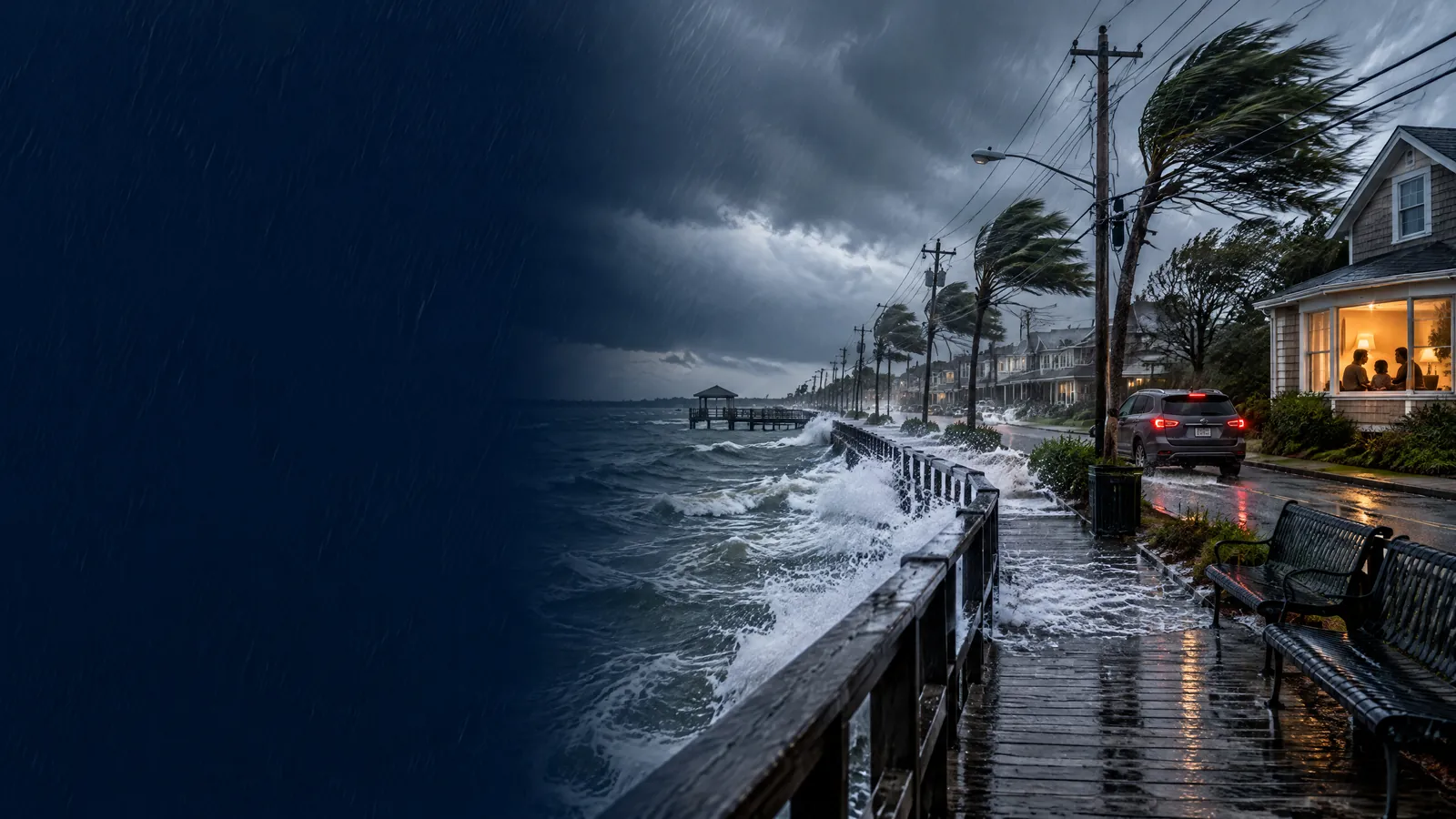
Anna News Desk treated the user-supplied ‘wind advisory’ and ‘coastal flood warning’ query labels as topic-selection signals, not search-volume measurements or ranking guarantees. Alert counts, areas, wind speeds, inundation values and timing were taken from National Weather Service products retrieved at 5:53 a.m. EDT on 25 September 2026. Alerts can be updated, replaced or canceled; readers should use their current local NWS alert and emergency-management instructions. No casualty or damage totals are claimed. The cover is an original illustration of fictional people and a generic US coastal setting, without official logos or text.